What the forecast says
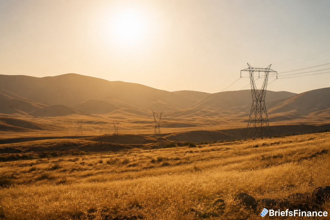
A short but intense warmup lands midweek, with advisories blanketing much of California's shoreline and the Central Valley, including the Bay Area and Los Angeles. Parts of Southern California, San Diego included, are under more serious extreme heat warnings. Around Los Angeles, highs are expected between 85F (29C) and 105F, roughly 10 to 15 degrees above normal.
San Francisco, typically mild, could top out at 86F on Wednesday. Sacramento is forecast to reach 100F on Thursday. The temperature outlook reflects a forecast issued Tuesday, Sept. 8, 2026, at 9:00 a.m.
Los Angeles time.
Why power use will climb
"The combination of triple-digit temperatures in parts of Northern California, unusually warm overnight temperatures in major population centers, and elevated humidity in Southern California is expected to push electricity demand significantly higher through Thursday," said Bradley Harvey, a lead forecaster at Vaisala. He added, "Persistent warm nighttime temperatures can increase cooling requirements by limiting the ability of homes and businesses to cool naturally between peak heating periods." The US Weather Prediction Center says at least 24 locations across the state could set records for warmest minimum temperatures from Wednesday through Friday.
Harvey said moisture will increase across Southern California after rainfall in the Los Angeles area. In Burbank, a key gauge for energy demand north of Los Angeles, readings may sit in the 90s, with humidity making it feel closer to the low 100s. The heat should start easing Friday, with a noticeable cooldown by Saturday.
When seasonal shifts affect daily life, attentive investors rethink how to protect and grow savings. Join Briefs Finance CEO Jaspreet Singh on September 29th for a FREE live investor workshop, How to Profit From A Dollar That's Losing its Value, where he shows how we're spotting investment opportunities as the dollar falls. Save your spot.
Grid supply, prices, and renewables
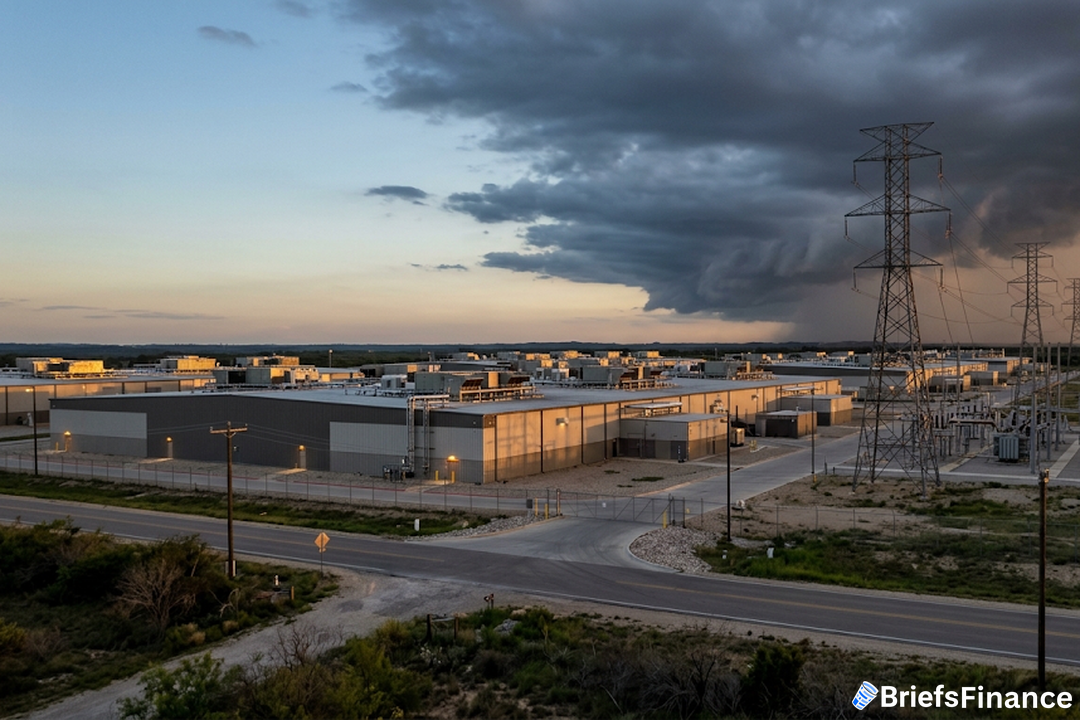
The California Independent System Operator projects peaks of 47,379 megawatts Wednesday and 45,183 megawatts Thursday, and reports 67,586 megawatts of capacity available. The all-time high is 52,061 megawatts, set in September 2022. Conditions are projected to tighten around sunset on Wednesday, but the grid operator still expects to have reserves to get through that period.
Renewables should cushion some of the strain. Harvey estimates solar output generally between 17 and 18.5 gigawatts, with wind strengthening late Wednesday and Thursday by another 2 to 4 gigawatts. Wholesale on-peak day-ahead prices at Southern California's SP15 hub - encompassing the Los Angeles metro - climbed to $87.69 per megawatt-hour for the 6 p.m. hour on Tuesday, marking the highest hourly reading for that market since Aug. 28, based on grid data from Arcus Power's NRGStream platform. The bulk of today's consumption was procured yesterday through the day-ahead market, guided by demand forecasts.
What this means for your portfolio
Short heat waves still move electricity use and prices, especially in the evening when solar fades and wind is still coming up to speed. The good news for reliability is that available capacity stands well above projected peaks, and renewables are expected to add roughly 19 to 22.5 gigawatts during the hottest stretch. With a cooldown due by the weekend, this looks like a temporary demand bump rather than a prolonged squeeze.
Staying calm through temporary disruptions helps your portfolio and long term financial health. Our CEO Jaspreet Singh is hosting a FREE live investor workshop, How to Profit From A Dollar That's Losing its Value, on September 29th. Sign up free to join him live.